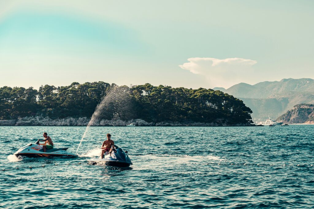
What Is Geofencing for Jet Ski Rentals?
Geofencing is the use of virtual geographic boundaries to monitor and control where rented jet skis can operate.
In rental environments, geofencing is used to:
- Keep renters out of unsafe or restricted water
- Enforce no-wake and slow-speed zones
- Prevent entry into marinas, swim areas, or shipping channels
- Create defensible records when rules are violated
When it applies:
Any operation renting PWCs to the public.
When it doesn’t:
Private ownership or guided tours with constant staff supervision.
Why No-Go Zones Are the #1 Preventable Risk
Most jet ski rental incidents don’t happen randomly. They happen in the same predictable places.
High-risk zones include:
- Swim beaches
- Marina entrances
- Fuel docks
- Shallow flats and sandbars
- Narrow channels with boat traffic
Geofencing works because it removes ambiguity. Renters don’t decide where they shouldn’t go, as the system tells them.
How Geofencing Actually Reduces Accidents
1. It Changes Renter Behavior in Real Time
Rules only work when renters feel them during the ride.
Effective systems:
- Trigger audible or visible alerts on the jet ski
- Reinforce boundaries immediately
- Log violations automatically
2. It Reduces Staff Guesswork
Without geofencing, staff rely on:
- Visual monitoring
- Radio calls
- Post-incident explanations
With geofencing:
- Alerts are objective
- Locations are time-stamped
- Responses are faster and more consistent
3. It Creates Defensible Incident Records
Geofence logs answer three critical questions:
- Where was the jet ski?
- When did it enter the zone?
- How long did it stay there?
This matters for:
- Damage disputes
- Insurance claims
- Regulator inquiries
Types of No-Go Zones Jet Ski Operators Use
| Zone Type | Purpose |
|---|---|
| Swim areas | Prevent injuries to swimmers |
| Marina basins | Avoid congestion and collisions |
| No-wake zones | Reduce damage and fines |
| Shallow water | Prevent groundings |
| Shipping channels | Avoid commercial traffic |
| Environmental zones | Comply with local protections |
Why Generic GPS Geofencing Falls Short
Generic GPS systems were not built for renter enforcement.
Common failures:
- Alerts only visible in dashboards (not on the craft)
- No buffer zones → false positives
- No duration logic (alerts on 1-second crossings)
- No rental-level logs
Rental-specific platforms like WAIV are designed to handle:
- GPS drift
- Renter behavior
- High-volume, short-duration rentals
How to Design Geofences That Actually Work
Rule #1: Start Wide, Then Refine
- Wide zones reduce false alerts
- Tight zones create noise and staff fatigue
Rule #2: Use Time-in-Zone Logic
- Trigger alerts after X seconds
- Ignore momentary boundary crossings
Rule #3: Align Zones With Enforcement Reality
- Don’t fence areas staff can’t respond to
- Pair alerts with clear action steps
Common Geofencing Mistakes
- Drawing razor-thin boundaries
- Expecting GPS-level precision
- Alerting staff but not renters
- Creating zones without response playbooks
- Treating geofencing as “set and forget”
Checklist: Jet Ski Geofencing Done Right
☐ Swim and marina zones mapped
☐ Buffers applied to all boundaries
☐ Time-based alert triggers
☐ Renter-facing alerts enabled
☐ Staff response rules defined
☐ Violation logs exportable
FAQs
Q: Will geofencing stop all accidents?
A: No, but it significantly reduces the most common and preventable incidents tied to restricted areas.
Q: What about GPS drift near boundaries?
A: Drift is normal; buffer zones and time-based alerts are essential.
