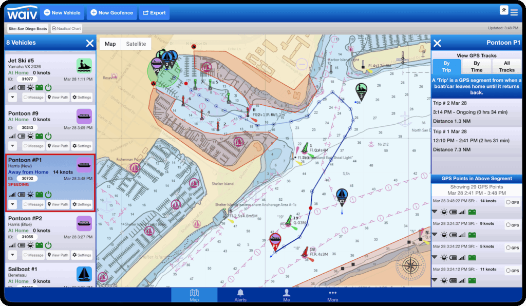
Nautical Charts for Boat Rental Operations
Unlike generic GPS tracking platforms that only show standard maps, WAIV offers a Nautical Chart View with nautical markers and hydrographic depth information. For boat rental operators, that means better map context for safer decisions, more accurate geofencing, and clearer incident review.
Improve geofencing accuracy
Place geofences with greater precision by using real marine and depth references instead of guessing.
This is especially valuable in areas where running aground can lead to propeller damage or costly downtime.
Investigate incidents with more context
Nautical Chart View makes it easier to review trip history and understand whether a boat entered shallow water, crossed into a restricted area, or was operating near known hazards. This gives staff better tools to investigate grounding events and improve future geofence placement.
Three Smart Ways to View Your Fleet
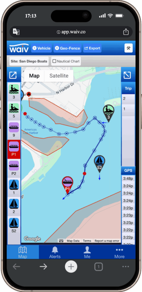
Basic View
Clean & Uncluttered.
For every day use.
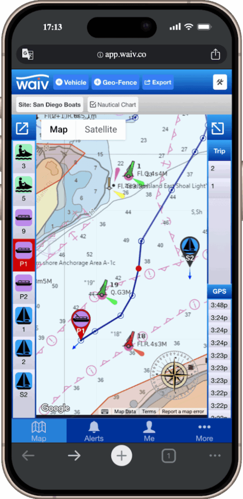
Nautical View
Invaluable for precision level ge-fencing, route planning and incident reivews.
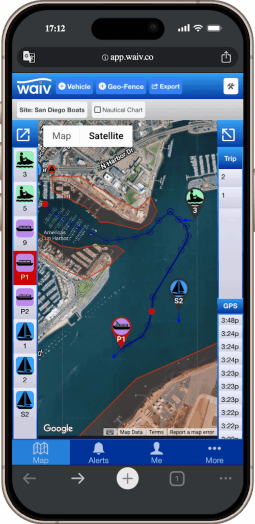
Satellite View
To view finer details not captured on other maps.
Why it matters
WAIV is built specifically for boat rental professionals. Our mapping tools are designed to support marine safety and day to day rental operations, not just basic tracking.
By offering multiple map views, including marine-specific chart data, WAIV helps your team:
- create more accurate geofences
- reduce the risk of grounding damage
- review incidents more effectively
- choose the right map for the task at hand
Built for boat rental professionals
Generic trackers show where the boat is.
WAIV helps you understand what is around it.
